GIS Mapping
Land Information/Geographic Information Systems (GIS)
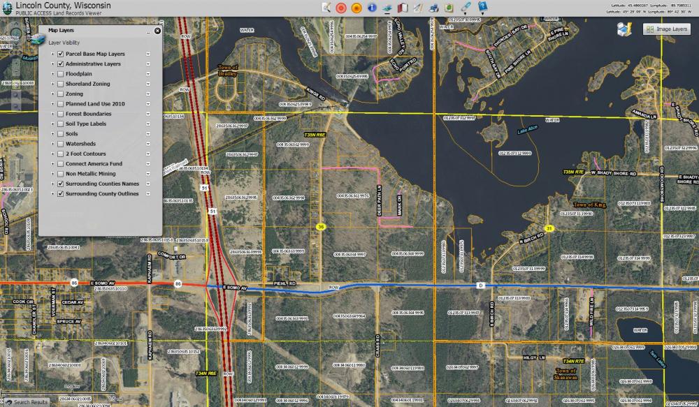
A Geographic Information System (GIS) is a computer-based tool for storing, viewing, analyzing and integrating all types of spatial data. The GIS data includes parcels, aerial photography, road centerlines, addresses, zoning, hydrology, soils, municipal boundaries, etc.